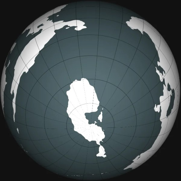
Posting on behalf of u/Jagged_Orchid Pre-requisite: Download the free application G.Projector: https://www.giss.nasa.gov/tools/gprojector/download/ This guide describes my process for building a full map of a spherical world starting from scratch, but this method can be adapted in several ways to allow editing of already created polar regions of existing maps and is also useful for visualizing... Continue Reading →
Climates and Biomes
In this post I will be talking about all the different climates you might want to include in your world and how they all fit together, some info on each and the kinds of animals and challenges faced to live there. Many people are happy to place climates as they like, but you might want... Continue Reading →
Drawing Realistic Coastlines
Credited to u/darkblade273. The most common map guides I've found glance over coastlines as just "use a fractal generator" or "just make it really jagged and never use straight/curved lines", which are only really suitable for some regions of the world. Coastlines are affected by elevation, underlying tectonic plates, and climate, which are never really... Continue Reading →
Working Out Climates Using Geoff’s Climate Cookbook
In this guide we will be attempting to apply realistic climates to a map of our world, ending up with something like this, here each colour denotes a different climate. It won't be 100% scientifically accurate but for the purposes of worldbuilding its close enough. The primary resources involved in writing this are Geoff's Climate Cookbook and Emma... Continue Reading →
Using Tectonic Plates to Draw Terrain
If you wanted to build your world right from the very start, from the earliest point and evolve it forward in a realistic manner, it is good to start with tectonic plates. These will help shape your continents and geographical features. It can also be fun to start building your world without knowing exactly what... Continue Reading →