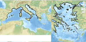
Drawing Continents Using Tectonic Plates
If you want to start as early as you can and work forward, begin here. Use tectonic plates and their movements to determine continents, coastlines, island chains, mountains and ravines.

Working Out Climates
Use Geoff’s Cookbook to work out the placement of climates/biomes using wind patterns, ocean currents and lattitude to create a realistic world.

Drawing More Realistic Coastlines
Apply concepts like erosion, underlying tectonic plates and climates to your coastlines to make them more realistic
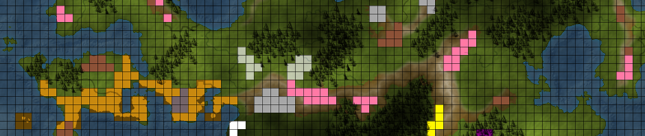
Drawing Resource Maps, Using Trade Goods and Developing Trade Routes
A tutorial on drawing resource maps and using it to develop your world with trade routes and trade goods. Includes a list of trade goods.
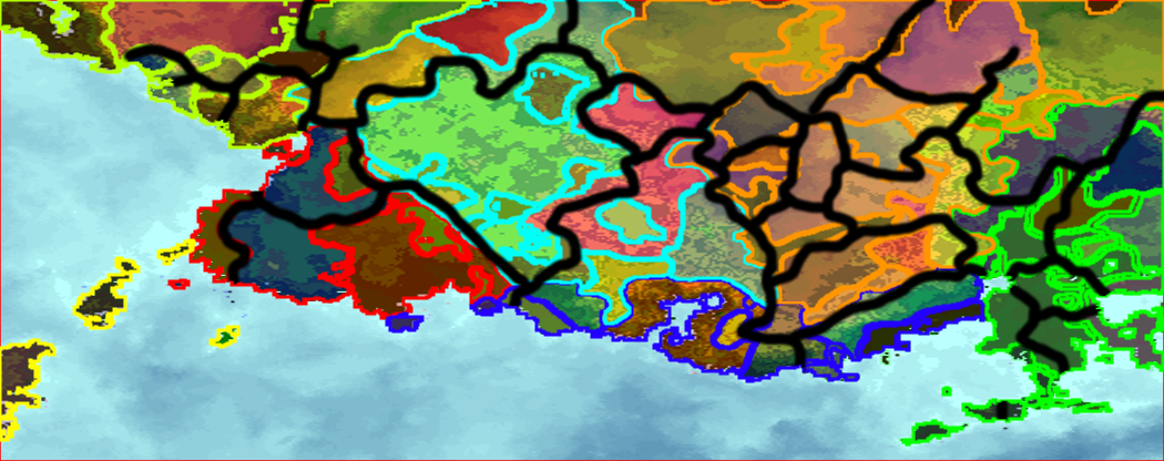
Drawing Culture Maps and Using Them to Produce Plot Points
A guide on drawing culture maps and grouping them based on terrain, history and other factors and using it to generate plot points for your world.
Placement of Settlements
A guide on where your place your villages, towns and cities on your map, and why these settlements are where they are.

